Gainesville, TX Weather Radar — Grayson CountyForecast & Alerts
Live NWS radar, conditions, and the official forecaster discussion for Grayson County, Texas.
Grayson County Weather Radar (Live)
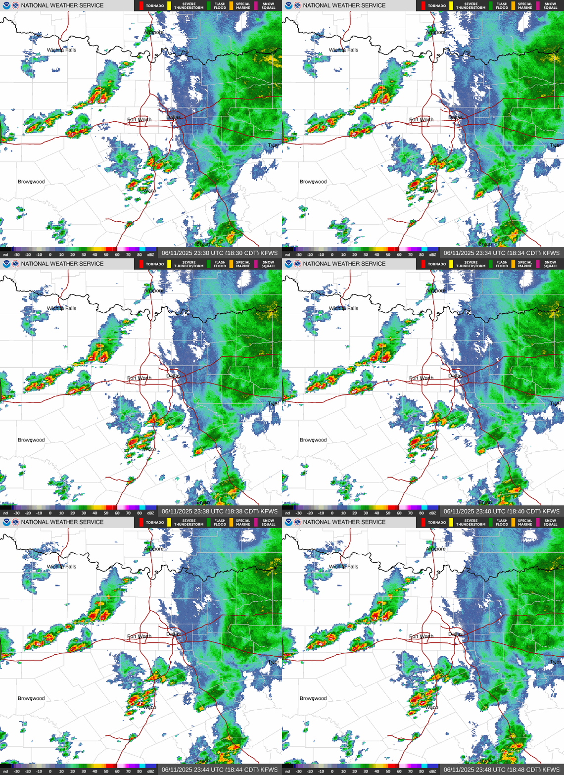
Animated Doppler radar from NWS Fort Worth (KFWS), the station that covers Grayson County and North Texas. Image refreshes every few minutes. Open full interactive NWS radar →
Latest from NWS Fort Worth
Issued Sep 15, 5:30 AM CT- •A Heat Advisory is in effect for portions of North and Central
- •Well above normal temperatures, breezy conditions, and low
- •Slightly cooler weather and some low rain chances return late
Water vapor imagery places North Central Texas on the western periphery of an anomalously strong subtropical ridge currently centered over the Deep South. 0400Z objective RAP analysis depicts 500mb heights of 596dam at its center, which is considered strong even for mid-summer standards. The FWD 15/00Z RaOb recorded 500mb heights of 593dam, near the highest ever recorded of 594dam per the SPC sounding climatology archive for this time of the year.
Excerpted from the National Weather Service Area Forecast Discussion (FWD office). Read the full discussion →
Current Conditions
Updated 12:15 PMHourly Forecast
7-Day Forecast
Sun & Moon
Weather data from Open-Meteo. Alerts from National Weather Service.